Disclosure: Some links in this guide are affiliate links. If you book or buy through them, we may earn a small commission at no extra cost to you — it helps keep our guides free.
Best Lofoten Islands Travel Guide 2026: Norway’s Most Dramatic Arctic Beauty
The Lofoten Islands rise from the Norwegian Sea above the Arctic Circle like a wall of jagged mountains that someone dropped into the ocean by accident. The peaks are sharp enough to cut the sky. The water below them is the color of turquoise in the Caribbean, warmed by the Gulf Stream to temperatures swimmable in summer (14-16 degrees C, 57-61 F). Red wooden fishing huts called rorbuer stand on stilts over the water, converted from fishermen’s quarters into some of the most atmospheric accommodations on Earth.
Roughly 300,000 visitors discover these islands each year (Visit Lofoten, 2026), drawn by the midnight sun in summer, the northern lights in winter, and the year-round spectacle of mountains rising directly from the sea. This Lofoten Islands travel guide covers why the islands look unreal, the best things to do, the most dramatic photo spots, the best hikes, and when to go for midnight sun or northern lights.
Key Takeaways
– The Lofoten Islands are above the Arctic Circle (67-68 degrees N) but warmed by the Gulf Stream to surprisingly mild temperatures: -1 to 5 degrees C (30-41 F) in winter, 10-18 degrees C (50-64 F) in summer. Pack layers regardless of the forecast.
– Midnight sun runs from late May through mid-July, with 24 hours of continuous daylight. The golden light at 1:00 AM, when the sun skims the horizon and the mountains glow orange for hours, is the most magical light phenomenon any of us have ever photographed.
– Northern lights are visible from late August through mid-April, best from September-October and February-March. Lofoten is one of the best places on Earth to see them due to the dry climate and the mountain backdrops that frame the aurora.
– The best hike is Reinebringen, 1,978 stone steps climbing to a 448-meter viewpoint above the fishing village of Reine. The view of the fjord, the mountains, and the scattered islands is the most photographed panorama in Norway. The stairs were completed in 2019 and made the hike accessible to all fitness levels.
– Accommodation is the biggest expense and the hardest to book. Rorbuer (converted fishing huts) cost 150-300 EUR/night in summer and book out 6-8 months ahead. Camping is the budget alternative (20-30 EUR/night per tent pitch).We only recommend services we genuinely trust. Learn more.
**** We spent a week on the Lofoten Islands in late August, when the midnight sun had ended but the days were still long enough to hike until 9:00 PM. The weather changed every 20 minutes: sun, rain, fog, sun again. The mountains looked different in every light. Reinebringen at 8:00 PM, with the fjord below glowing in golden-hour light that lasted for three hours, was one of the most transcendent travel experiences we have ever had.
Why Lofoten Looks Unreal
Quick answer: The Lofoten Islands are an Arctic archipelago of jagged peaks and red-cabin (rorbuer) fishing villages in northern Norway, best explored with a rental car over 4-6 days because buses are sparse and distances are long. Visit late May to mid-July for the midnight sun or roughly September to March for the northern lights, book your rorbu cabin well ahead, and expect Norway to be very expensive – self-catering keeps costs down.

The Lofoten Islands are a 1,227-square-kilometer archipelago connected to the Norwegian mainland by a series of bridges and undersea tunnels (the Lofast road, E10, runs the full length of the islands). The mountains are remnants of a billion-year-old seabed, eroded by ice-age glaciers into knife-edged peaks that rise 600-1,000 meters directly from the ocean. No coastal plain. No transition zone. Just mountain, water, and the narrow strip of land where fishing villages have survived for 1,000 years.
The Gulf Stream wraps around the islands, creating one of the largest positive temperature anomalies relative to latitude anywhere on Earth. At 68 degrees north (the same latitude as northern Alaska and Siberia), Lofoten has ice-free harbors year-round and summer temperatures warm enough for a (cold) swim. The Gulf Stream also brings the cod that has sustained the islands’ economy since the Viking Age. The fish are dried on wooden racks (hjell) that stand in every village, creating one of the most distinctive landscapes in Scandinavia: red rorbuer on the water, white cod drying in the wind, sharp peaks reflected in the fjord.
The 5-Day Lofoten Itinerary
The plan we use ourselves — sent straight to your inbox.
- Day-by-day route
- Where to stay
- Real 2026 costs
Free · No spam · Unsubscribe anytime
Best Things to Do in the Lofoten Islands
Drive the E10 (Lofast Road)
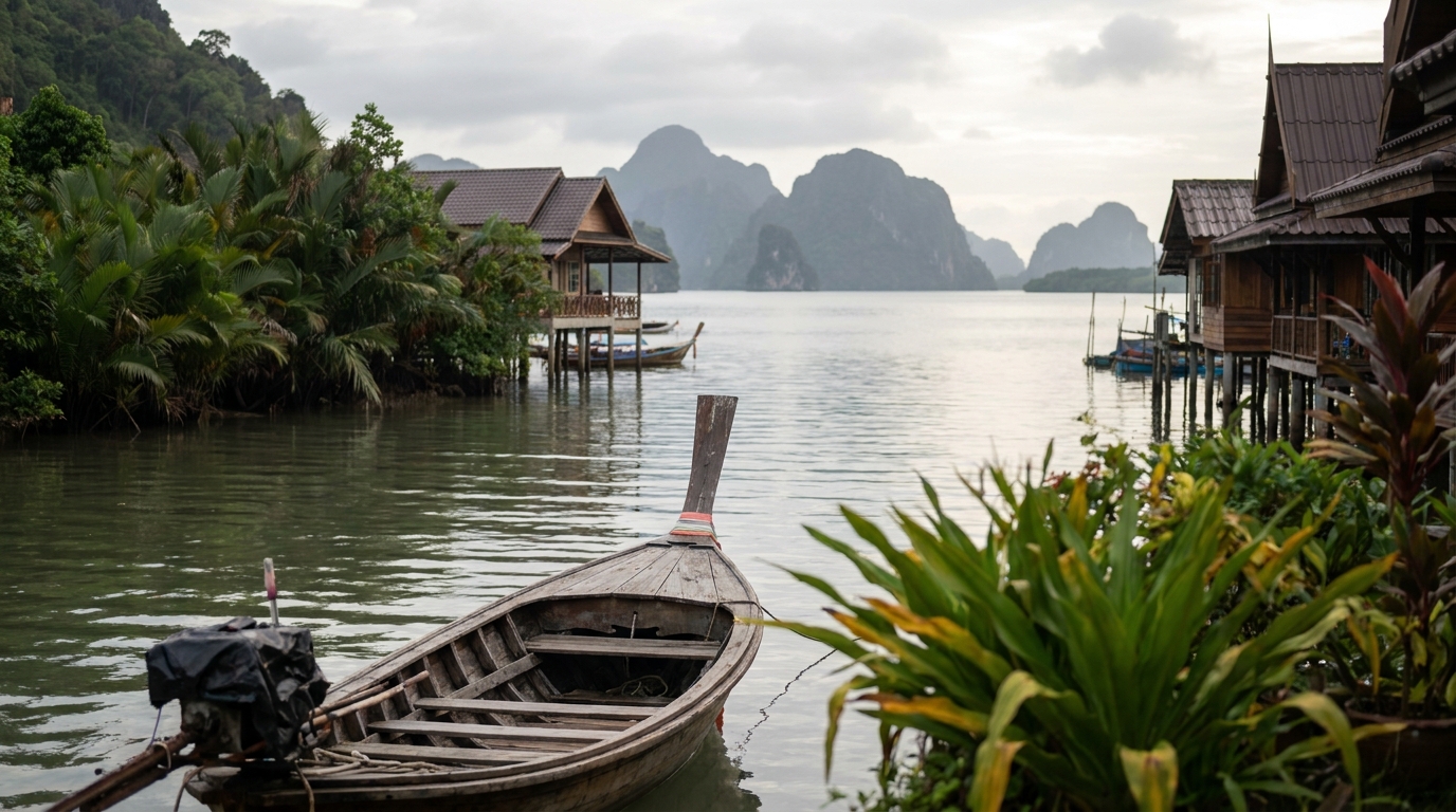
The E10 highway runs the entire length of the islands from A in the south (the village at the end of the road, whose name is a single letter) to Fiskebol in the north, a distance of roughly 170 kilometers. The drive takes 3-4 hours without stops and a full day with stops. Every curve reveals a new composition of mountains, fjords, and white-sand beaches that belong in the Maldives rather than the Arctic. The best sections are between Leknes and Reine (the mountains are largest here) and between Henningsvaer and Svolvaer (the coastal views are widest here). Rent a car from Leknes or Svolvaer airports. A rental costs 80-120 EUR/day in summer, 50-70 EUR/day in winter.
Kayaking the Fjords
The fjords between the islands are best explored at water level, where the scale of the mountains becomes fully apparent. Guided kayak tours depart from Reine, Henningsvaer, and Eggum, costing 900-1,200 NOK (82-110 EUR) for a half-day trip. The tour from Reine paddles through the Reinefjord beneath peaks that rise 700 meters directly from the water. No kayaking experience is necessary. The water is calm inside the fjords regardless of sea conditions outside.
Surfing at Unstad Beach
Unstad Beach (Unstadbukta) is a crescent of white sand facing the Norwegian Sea, and it is one of the world’s northernmost surf destinations. The water is cold (a full wetsuit, hood, gloves, and boots are mandatory), but the waves are consistent and the setting — surfing beneath snow-capped mountains above the Arctic Circle — is unique. Unstad Arctic Surf runs a surf camp, rents boards and wetsuits (400 NOK/36 EUR for 2 hours), and serves excellent cinnamon buns in the cafe. The sauna on the beach costs 150 NOK (14 EUR). Surf, sauna, cinnamon bun. This is the Lofoten trifecta.
Most Dramatic Photo Spots
Reinebringen
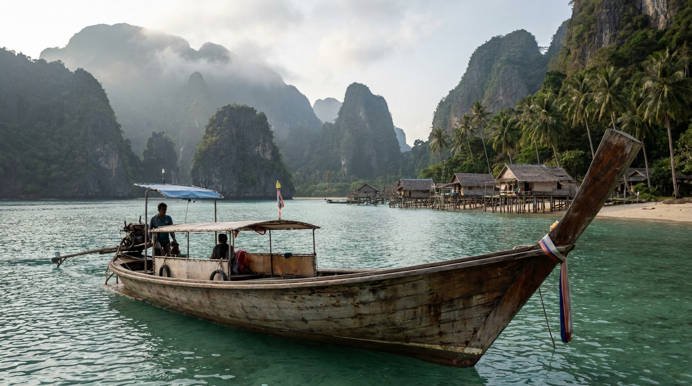
The viewpoint from 448 meters above Reine is the most photographed panorama in Norway for good reason. The Reinefjord stretches below, flanked by the peaks of Olstind and Festheltind. The fishing village of Reine clusters on a series of small islands connected by bridges. The midnight sun in summer (late June) creates a golden-hour effect that lasts from roughly 10:00 PM to 2:00 AM at this latitude.
The staircase of 1,978 stone steps (built by Nepali sherpas, completed in 2019) makes the climb accessible to anyone with moderate fitness. The ascent takes 45-60 minutes. Go at 8:00 PM in summer for the golden light. Go at sunrise in autumn for the best chance of having the viewpoint to yourself. The stairs become icy in winter and are not recommended December-March without microspikes and experience.
Hamnoy Bridge
The view from the Hamnoy bridge, looking south toward the cluster of red rorbuer on the small island of Hamnoy with the peak of Festheltind behind them, is the second most photographed composition in Lofoten. Photograph from the bridge at blue hour in winter (roughly 2:00-3:00 PM in December, when the sun barely rises above the horizon for 2-3 hours). The rorbuer lights reflect on the water. A 24-70mm lens handles the full range of compositions from the bridge.
Henningsvaer Football Field
The Henningsvaer football field sits on a small rocky island at the edge of the fishing village, surrounded on three sides by the Norwegian Sea and backed by the Vagakallen mountain. It has been called the most beautiful football pitch in the world by publications that have seen enough football pitches to make that claim. The field is free to visit. Walk up the hillside behind the field for the elevated angle that captures the pitch, the sea, and the mountains in a single frame.
Skagsanden Beach
Skagsanden Beach on the northern coast of Flakstadoya island faces the open North Atlantic, and the black and white sand patterns formed by the interaction of freshwater streams and ocean waves create abstract compositions that change with every tide. The beach faces north, making it an aurora-viewing spot in winter. Photograph the beach at low tide when the sand patterns are most visible, or at night during aurora season when the green lights reflect on the wet sand.
The 5-Day Lofoten Itinerary
Hour-by-hour plan, where to stay and what it really costs — free PDF.
Free · No spam · Unsubscribe anytime
Best Hikes in Lofoten
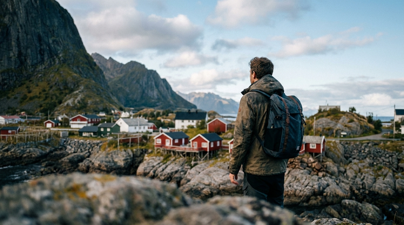
Reinebringen (Moderate, 2-3 hours round trip)
1,978 stone steps to 448 meters. The view is described above. The staircase was built by Nepali sherpas in 2016-2019 and is well-maintained. The hike is accessible to anyone with moderate fitness. Go in the late evening for the best light in summer.
Kvalvika Beach (Moderate, 3-4 hours round trip)
A valley hike leading to a beach accessible only by foot, surrounded by 500-meter cliffs on three sides and the Norwegian Sea on the fourth. The beach has no road, no buildings, and no permanent human presence beyond a few hikers who camp overnight. The hike runs 5 kilometers each way from the trailhead near Fredvang with 250 meters of elevation gain. The beach is a popular camping spot. Bring a tent, a sleeping bag rated to 0 degrees C even in summer, and a sense of isolation that is increasingly rare in the Instagram era.
Mannen (Easy-Moderate, 1.5-2 hours round trip)
A short hike from Haukland Beach to a 400-meter viewpoint overlooking Hauklandstranda (a white-sand Caribbean-lookalike beach) and Uttakleivstranda (a rocky beach facing the open ocean). The trail is well-marked and family-friendly. The contrast of white sand, turquoise water, and jagged peaks from the Mannen viewpoint is the most dramatic illustration of Lofoten’s improbable geography. Go at sunset in summer.
Best Time to Visit: Midnight Sun or Northern Lights
Midnight Sun (Late May to Mid-July)
The sun does not set for roughly 6 weeks above the Arctic Circle. The light at midnight is a soft, golden glow that photographs like an endless sunset meeting an endless sunrise with no night in between. The phenomenon peaks around the summer solstice (June 21). The best midnight-sun viewpoints are Reinebringen, Eggum (on the northwestern coast with an open ocean horizon), and the Kvalvika Beach area, where the cliffs frame the low sun.
Trade-off: Accommodation is most expensive and books out furthest in advance (January for July). The midnight sun energizes you to the point where sleep becomes optional. You will hike at 10:00 PM because it feels like 4:00 PM. This is both a gift and, by day five, a circadian challenge.
Northern Lights (Late August to Mid-April)
Lofoten is one of the best aurora-viewing locations on the planet due to the dry climate (relative to coastal Norway), the mountain backdrops that frame the lights, and the low light pollution outside the main villages. The best months are September-October and February-March, when the nights are dark but the weather is more stable than the storm-prone December-January period.
Best spots: Skagsanden Beach (aurora reflecting on wet sand), Uttakleiv Beach (north-facing horizon with rock formations in the foreground), and the Gimsøystraumen bridge area (aurora above the tidal currents). Camera settings: 14-24mm lens at f/2.8, ISO 3200, 5-15 second exposure depending on aurora speed. A tripod is mandatory. The aurora forecast at yr.no predicts activity 1-3 days ahead.
Summer Hiking (Late June to Early September)
The hiking season peaks from late June through early September when most trails are snow-free. July and August offer the warmest temperatures (10-18 degrees C, 50-64 F) and the most reliable trail conditions. June still has some snow on higher trails. September brings autumn colors and the first possible northern lights of the season.
Related guide: Ao Nang Travel Guide 2026: Beaches, Hotels & Tips
Frequently Asked Questions
How many days do I need in Lofoten?
Five full days is the minimum to cover the highlights (Reine, Reinebringen, Hamnoy, Henningsvaer, one beach, one kayak trip) at a relaxed pace. Seven days allows the Kvalvika Beach hike, the Unstad surf, and a day of doing nothing but watching the light change on the mountains. Lofoten rewards time. Four days feels rushed given the driving distances involved.
How do I get to the Lofoten Islands?
Fly to Bodo (daily flights from Oslo, 1.5 hours), then take the ferry to Moskenes in Lofoten (3-4 hours, passengers and cars). Alternatively, fly directly to Leknes or Svolvaer airports (from Oslo via Bodo). The Wideroe regional airline operates flights to both. A rental car from Leknes or Svolvaer is essential for exploring the islands. Book the car when you book the flights. You can compare flights on Aviasales to find the cheapest dates and routes.
Is Lofoten expensive?
Yes, like all of Norway. Budget 1,200-1,800 NOK (110-165 EUR) per person per day including accommodation, rental car, food, and one guided activity. A rorbu in high season costs 150-300 EUR/night. A dinner entree at a restaurant costs 250-350 NOK (23-32 EUR). Camping and self-catering (supermarket groceries) reduce costs by 40-50%.
What is the best time to visit Lofoten?
July for the midnight sun and hiking. February-March for the northern lights and winter landscapes. September for autumn colors, fewer visitors, and the first aurora of the season. Each season offers a completely different Lofoten, and all are extraordinary.
Can I swim in Lofoten?
Yes, but it will be cold. The Gulf Stream warms the water to 14-16 degrees C (57-61 F) in July and August, swimmable with a wetsuit or Nordic courage. The beaches (Haukland, Uttakleiv, Ramberg, Kvalvika) have Caribbean-white sand but Arctic water temperatures. The sauna at Unstad makes the swim more bearable.
Is Lofoten crowded?
In peak season (July) at the main viewpoints (Reinebringen, Hamnoy), yes, in a concentrated way. The rest of the islands remain remarkably uncrowded. Drive 10 minutes from Reine to a less famous viewpoint and you may be alone. The hiking trails beyond Reinebringen see a fraction of the crowds.
The Lofoten Islands do not look real. Mountains that belong in Patagonia rise from water that belongs in the Caribbean. Red fishing huts on stilts reflect in fjords where cod have been caught for a thousand years. The midnight sun in July turns 1:00 AM into golden hour. The northern lights in February turn 8:00 PM into a green-ribboned sky. This archipelago of 80,000 people above the Arctic Circle is one of the most beautiful places on Earth.
For more Norwegian inspiration, explore our guides to Bergen and the fjord country. For more mountain panoramas, read our Zermatt Matterhorn guide and Grindelwald guide in the Swiss Alps. Continue north for Tromso and Svalbard.
Sources: Visit Lofoten (2025-2026), yr.no weather data (2026), Norwegian Public Roads Administration (E10 conditions, 2026). Book: GetYourGuide for tours, Booking.com for rorbuer, Airalo for Norway eSIM from $6.
More European Travel Guides
- Menton Travel Guide
- Ljubljana Travel Guide
- Porto Travel Guide
- Positano Travel Guide
- Zermatt Travel Guide
- Annecy Travel Guide